River Road
There is nothing here
Except
Sherman
Brannan
Twitchell
Bouldin and
Staten
Islands
Rio Vista
Isleton
Ryde
Walnut Grove
Locke
Courtland
Franklin
Hood
Clarksburg
Freeport
Follow my weary moustache
Atop these levees
Past bridges that
Rise
Pray
Turn for
Corn and
Sugar beets and
Pears
Let's go for a ride
Up River Road
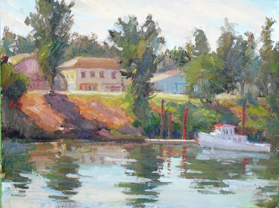 Courtland View -- Patti Miller
In 1850 the US Congress passed the Arkansas Act which allowed for the transfer of title for wetlands to private owners on condition that the land would be reclaimed. In California more than 2 million acres (810,000 ha) of wetlands were partitioned, almost ¼ of which were in the Sacramento-San Joaquin Delta. From the 1850s to the 1870s Chinese laborers built a series of levees made of peat, but most of them were destroyed by 1862, 1878, and 1881 floods, necessitating higher and stronger levees made from clay dredged from nearby river bottoms. Land holdings were initially limited to 320 acres (130 ha) per buyer, but this limit was repealed in 1868, allowing agricultural conglomerates to take entire islands to carry out massive reclamation projects, and by the next year all of Sherman Island, 2 km northeast of Antioch, was diked and drained by a system of levees, flumes and floodgates. By 1900, about 235,000 acres (95,000 ha), almost ½ of the Delta's land area, had been reclaimed, and most of the farmable land was reclaimed by the 1920s. Due to the highly absorbent quality of the peat soil and irregularities caused by land subsidence, Delta crops cannot be irrigated using conventional methods, so irrigation is typically done by piping water into small "spud ditches" which spread water over large areas and raise the local water table. The heightened groundwater is then gradually depleted by the crop until irrigation is required again. Nevertheless, this is one of the most productive farming regions in the US in terms of crop value per unit area. Major crops include corn, grain, hay, sugar beets, alfalfa, tomatoes, asparagus, and safflower, and various fruits such as pears are also raised.
ReplyDeleteSherman Island is bordered on the north and northwest by the Sacramento river, on the northeast by Three Mile Slough, and on the east and southwest by the San Joaquin river. It is linked to Antioch by State Route 160 (River Road), and the Three Mile Slough Bridge links it to Brannan Island to the north, where a maze of waterways has been preserved. The Brannan Island State Recreation Area rangers also manage Delta Meadows River Park near the town of Locke. The island is named after Samuel Brannan. In 1846 he led the Mormons from New York to California and began settling them in the Sacramento river area, which he called New Hope. In 1847 he founded the “California Star” in Yerna Buena, the 1st newspaper in what is now San Francisco; after “The Californian” (founded in 1846, making it California’s oldest) moved from Monterrey to Yerna Buena, the 2 papers merged in 1848 as the “Daily Alta California,” the 1st daily. He became California’s 1st millionaire by buying up picks, shovels, and pans in the early days of the California Gold Rush and reselling them at exorbitant prices, and by collecting (and keeping) the tithes paid by California Mormons. In 1851 he led the San Francisco Committee of Vigilance and was disfellowshipped by the Mormons for "a general course of unchristianlike conduct, neglect of duty, and for combining with lawless assemblies to commit murder and other crimes.” He continued to develop urban projects (California's 1st steam locomotive, San Francisco’s 1st wharf) and to buy land, but became an alcoholic after leaving the church; when he died in 1889 he didn’t have enough money to pay his funrral costs. Twitchell Island is east of Three Nile Slough and is the site of a US Geological Survey study to determine if growing tules and cattails on the sinking islands of the Delta can reverse the soil loss caused by wind, rain and farming. Bouldin island is bounded on the north by South Mokelumne river, which separates it from Staten Island.
ReplyDeleteIn addition to the islands, the Delta contains a number of small towns, most of which are unincorporated. In 1859 Nathan H. Davis founded Brazos del Rio near the entrance of Cache Slough, but the settlement was moved to higher ground and renamed Rio Vista in 1862. Isleton, on Andrus Island on the eastern edge of the Rio Vista gas field, was founded in 1847 by Josiah Pool; Chinese began to settle there ca. 1875, and it became one of the centers of the Bǐnggong Tang, one of the major organized crime gangs in the western US. Ryde is 6 mi (9.7 km) to the north-northeast, at the junction of State Routes 160 and 220, on land bought by William Kesner in 1892; it was named after a town on the Isle of Wight. John W. Sharp founded Walnut Grove in 1850, but his heirs sold much of his estate to Agnes brown and her son Alex in 1880. It is the only town that straddles the Sacramento river, and in 1916 both parts of the town were joined by the 1st cantilevered counterweight bascule drawbridge west of the Mississippi river. The west side of the river was “whites only,” and the east side was divided between Chinese and Japanese communities. “The Walnut Grove Tower” (472.1 m/1549 ft) was built in 1962 to transmit FM radio stations KXTV, KOVR, and KCRA; in 1985 KTXL began transmitting from a 610 m/1,996 ft tower in 1985, and the 609.6 m/2000 ft Hearst-Argyle Tower began operations. (The Empire State Building in New York was 443.2 m/1,454 ft tall; the World Trade Center in New York, which began construction in 1966, was 527 m/1,728 ft.; and the Sears Tower in Chicago, completed in 1973, was 442.1 m/1,450 ft. Today, the Burj Khalifa in Dubai is 829.8/2,722 ft ). George Locke owned uninhabited land called Lockeport, but a Chinese merchant from Walnut Grove and 2 others from nearby Vorden hired tradesmen to construct 3 buildings there in 1912: Chan Tin Sin was the 1st, opening a dry goods store/beer saloon, followed by Yuen Lai Sing’s gambling hall, and Owyang Wing Cheong’s Lockeport Hotel & Restaurant. However, California’s Alien Land Law of 1913 forbade selling farmland to Asian immigrants. In 1915 Walnut Grove’s Chinatown was destroyed by fire, causing the town’s Chinese residents to move elsewhere; Lee Bing leased part of Lockeport and built the main part of Locke, one of the few American towns built entirely by Chinese. Soon known as “California’s Monte Carlo,” it had 5 gambling halls, 5 brothels, and various speakeasies and opium dens. James V. Sims opened a steamer landing in 1870, and his son Courtland Sims was given to the village of Courtland in 1872; Walnut Grove students were bussed to its high school for years, until it was designated an earthquake hazard. Andrew George built the Franklin House in 1856, which became the namesake of the community of Franklin. Hood was named in 1910 after the chief engineer of the Southern Pacific Railroad, William Hood. Robert C. Clark settled on Merritt Island in 1849, and a Clarksburgh post office was opened in 1876, but it changed its name to Clarksburg in 1893; in the 1920s the New Holland Land Company began subdividing the tracts in the area. Because of the ferry crossing that existed there until 1920, the area across the river was regarded as part of the community (and still is by older residents), but the ferry sank in 1928 and the Freeport Bridge was built in 1930. In 1863 San Francisco businessmen created the Freeport Railroad company to build a railway that would bypass the taxes at the Sacramento Embarcadero; the town named Freeport flourished for 3 years, with 300-400 residents (!).
ReplyDelete